

Saturday, August 26, 2023, 1245 PDT Fire Update
MCKENZIE BRIDGE, OR — LOOKOUT FIRE — The NW Team 2 (Type 1 IMT) will assume command today at 1800 hours PDT. They are also managing the Bedrock Fire. Active fire behavior with uphill runs, group torching, and spotting. McKenzie Bridge, energy, and communication infrastructure are threatened.
Evacuations (as of 8/25/2023 1640 PDT) – Source: USFS
The following areas remain on a Level 1 (Be Ready) evacuation notice:
![]() Areas south of Hwy. 126 from Blue River Reservoir Rd. east to the east end of McKenzie River Dr.
Areas south of Hwy. 126 from Blue River Reservoir Rd. east to the east end of McKenzie River Dr.
![]() The area south of Hwy 126 from the McKenzie River Bridge just east of Taylor Rd. to Scott Creek Rd.
The area south of Hwy 126 from the McKenzie River Bridge just east of Taylor Rd. to Scott Creek Rd.
![]() McKenzie River Dr. and areas directly to the south and east.
McKenzie River Dr. and areas directly to the south and east.
![]() Belknap Springs Rd. S.
Belknap Springs Rd. S.
LEVEL 2 (Get Set)
![]() Horse Creek Rd.
Horse Creek Rd.
![]() Hall Rd.
Hall Rd.
![]() Sullivan Ln.
Sullivan Ln.
![]() Alma Dr.
Alma Dr.
![]() Old Foley Ridge Rd.
Old Foley Ridge Rd.
![]() 5600blk of Delta Dr.
5600blk of Delta Dr.
![]() Areas south of McKenzie Hwy. from milepost 50.5 to milepost 54
Areas south of McKenzie Hwy. from milepost 50.5 to milepost 54
![]() Horse Creek Lodge
Horse Creek Lodge
![]() Foley Hot Springs
Foley Hot Springs
![]() North Bank Rd.
North Bank Rd.
![]() Areas east of the McKenzie Bridge to, and including Drury Ln. north of Hwy. 126, but south of the McKenzie River.
Areas east of the McKenzie Bridge to, and including Drury Ln. north of Hwy. 126, but south of the McKenzie River.
![]() Areas north of Hwy. 126 east of the .5 mile mark on Mill Creek Rd. to the east end of Taylor Rd.
Areas north of Hwy. 126 east of the .5 mile mark on Mill Creek Rd. to the east end of Taylor Rd.
![]() Hwy 126 from the Hwy 242 junction to Scott Rd.
Hwy 126 from the Hwy 242 junction to Scott Rd.
![]() Belknap Hot Springs Rd.
Belknap Hot Springs Rd.
![]() The area east of Hwy. 126 from Scott Rd. north into Linn County. (Additional evacuations are in Linn County)
The area east of Hwy. 126 from Scott Rd. north into Linn County. (Additional evacuations are in Linn County)
![]() Areas north of Hwy. 126 west of the .5 mile mark on Mill Creek Rd. to Blue River
Areas north of Hwy. 126 west of the .5 mile mark on Mill Creek Rd. to Blue River
Reservoir Rd. at the 1501 junction.
![]() The area south of Hwy 126 to the McKenzie River from the east end of McKenzie River Dr. to the McKenzie River Bridge just east of Taylor Rd.
The area south of Hwy 126 to the McKenzie River from the east end of McKenzie River Dr. to the McKenzie River Bridge just east of Taylor Rd.
LEVEL 3 (Go Now!)
![]() Mona Campground.
Mona Campground.
![]() Lookout Campground
Lookout Campground
![]() H.J. Andrews Headquarters
H.J. Andrews Headquarters
![]() The area west of Hwy. 126 from Scott Rd. north into Linn County. (Additional evacuations are in Linn County)
The area west of Hwy. 126 from Scott Rd. north into Linn County. (Additional evacuations are in Linn County)
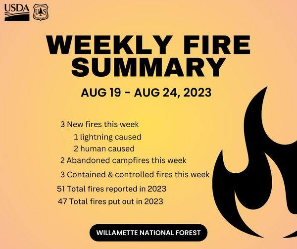
17,371 acres have been burned and there is a 16% containment status. About 992 total personnel are assigned along with 19 crews, 53 engines, and 7 helicopters. No structures have been reported as lost.
CTD: $17.2 Million
VIDA, OR — BEDROCK FIRE — This wildfire started on 7/22/2023 from an undetermined cause. It is located 12 miles south of Vida, Oregon. Moderate fire behavior with creeping, single tree torching, and smoldering have been observed. Structures are still threatened. Evacuations and closures are still in place. 31,570 acres of timber and brush have been destroyed along with 4 structures. The fire has a 50% containment status.
There are 746 total personnel working on this fire along with 12 crews, 46 engines, 30 water tenders, and 11 helicopters.
Evacuations: Evacuations: Level 2 evacuation notifications remain in place for portions of Lane County because of these multiple fires. A searchable evacuation map with fire perimeters is available through the county’s website: (https://bit.ly/44rF8Gd) Bedrock Fire Evac-uation Areas.
Fire Officials: “Bedrock Fire: Firefighters, engines, and helicopters assigned to the Bedrock Fire assisted with the initial attack on new fires around the region yesterday. This was possible because fire activity on the Bedrock was light and containment lines continued to hold. We’re glad we were able to help our neighbors and help keep these new fires small,” said Chris Hutsell, one of the incident commanders. With two large fires already burning in the Willamette National Forest, fire personnel and equipment are in limited supply. “It’s to everyone’s advantage to nip new fire starts in the bud,” Hutsell added. While helicopters did not fly over the Bedrock Fire Friday, hundreds of firefighters continue to work, both day and night, to complete containment lines. They have also started the large task of hauling in hoses, pumps, and other equipment that is no longer needed and repairing the damage done to the land during the firefighting efforts of the last month.
CTD: $50.2 Million
PC: USFS – Willamettete National Forest
(c) 2023 NW Fire Blog
