
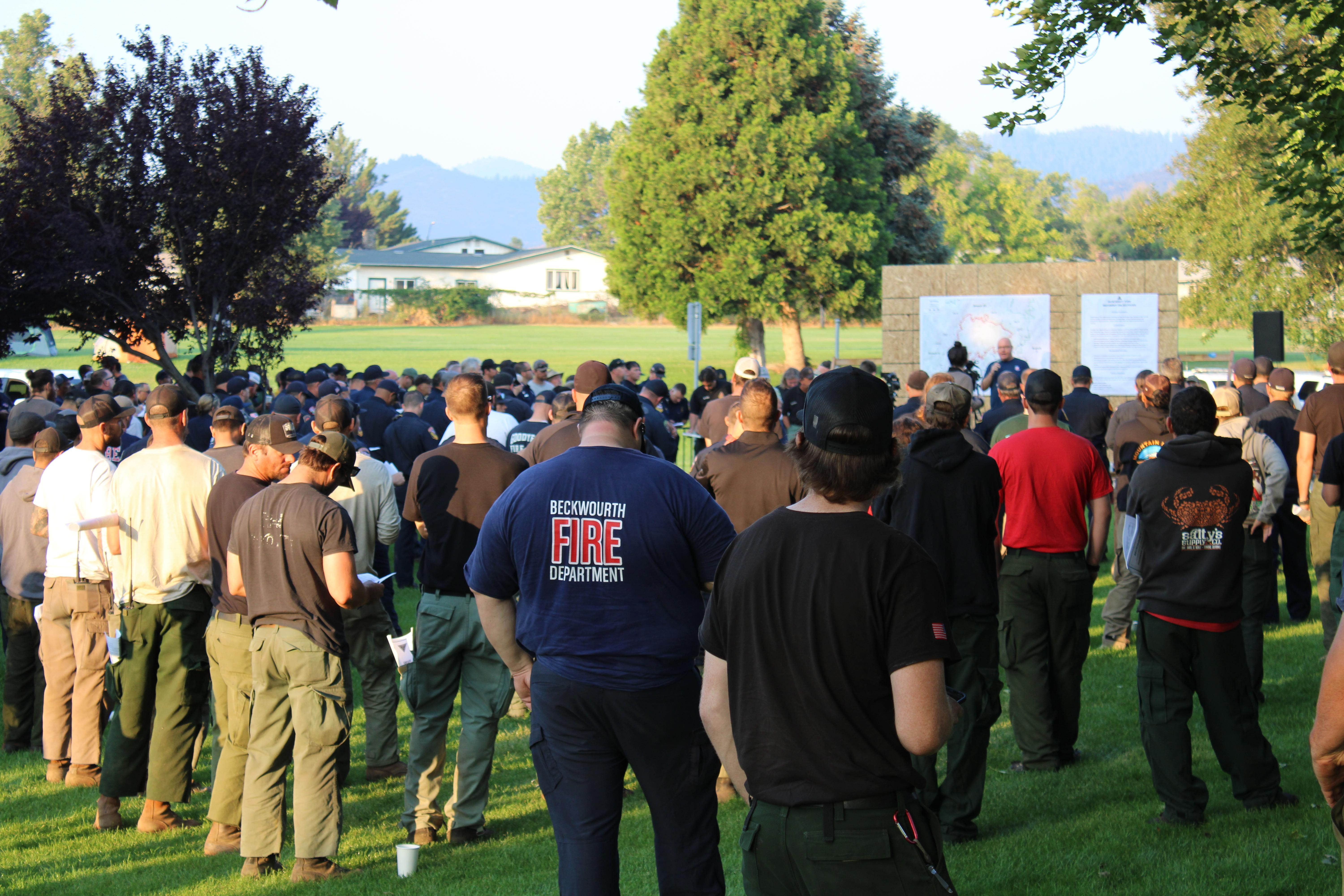
Update 3. Saturday, August 6, 2022. 1830 hours PT
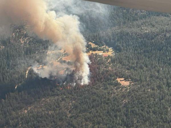
The MCKINNEY FIRE is located in Siskiyou County, California, which started on Friday, July 29, 2022, around 1415 hours PT.
There is 2,783 total personnel.
About, 60,044 acres of timber (litter and understory), tall grass, and brush have been burned. There is a 30% containment status at this time.
There have been a total of 132 total structures lost, which include about 87 homes as destroyed. About 274 total structures have been assessed per Fire Officials. Four structures have been reported as suffering damage to their buildings. A map of the damage assessment showing today’s results can be found on this operational map here –> https://www.co.siskiyou.ca.us/emergencyservices
Multiple Evacuation orders and warnings remain in effect. For current updates on evacuations, visit
https://www.facebook.com/SiskiyouCountySheriff and https://www.facebook.com/SiskiyouCountyOES
Additional evacuation information and a map can be found on the Zonehaven site at:
https://community.zonehaven.com/
A new shelter has been established at Karuk Wellness Center at 1403 Kahtishraam, Yreka, CA, 96097.
Highway 96 remains closed through the fire area.
Fire restrictions are in effect on the Klamath National Forest. For more information, visit
https://www.fs.usda.gov/alerts/klamath/alerts-notices/
A forest closure is now in effect for the McKinney, Yeti, and Alex Fires.
Please refer to the links below for
specific details:
Closure Info: https://www.fs.usda.gov/Internet/FSE_DOCUMENTS/fseprd1047211.pdf
Closure Map: https://www.fs.usda.gov/Internet/FSE_DOCUMENTS/fseprd1047212.pdf
Pacific Crest Trail Information: https://www.pcta.org/discover-the-trail/closures
(c) 2022 NW Fire Blog
