
Published Saturday, September 3, 2022, 0940 PT
INCIDENT SUMMARY
The Crockets Knob Fire is a lightning-caused fire, located 19 miles north of Prairie City, Oregon in the Malheur National Forest which started on August 22, 2022.
CURRENT STATUS
4,136 acres of brush, shrubs, and timber have burned and firefighters have reached a 10% containment status.
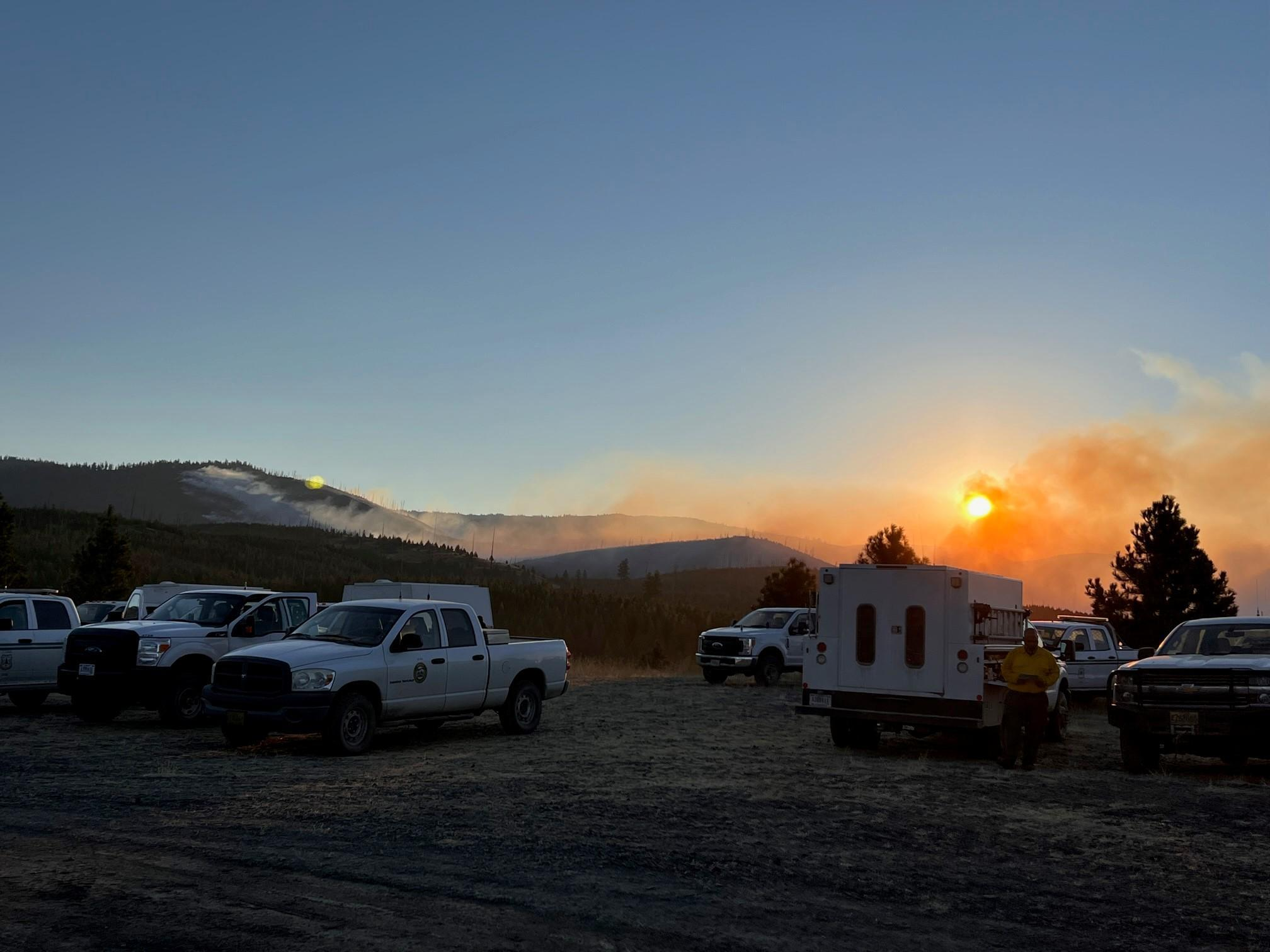
Fire behavior is active with uphill runs, flanking, and group torching.
Structures are threatened, causing evacuation notices to be issued.
Road/trail/area closures in effect.
FIRE RESOURCES
The fire is under the direction of Incident Jeff Dimke with the NW Team 12, a Type 2 IMT, along with a total number of 583 fire personnel with 16 crews, 20 engines, and five copters.
FIRE OPERATIONS
Div A: Hold fire east of the dozer line in Myrtle Creek, burning out pockets as needed. Prepare to fire 145 Road. Continue mop-up and patrol Road 4550.
Div E: Continue firing south along 45 Road from H-51. Secure and mop-up spots above 537 Road and along the 537 and 45 roads where firing has occurred.
Div M: Monitor fire growth beneath Indian Rock and Princess Trail to the junction of the Big Boulder trail. Evaluate needs for potential firing operations below Greenhorn Ridge. Wrap Indian Rock Lookout.
Div S: Continue prepping the 4555 roads and Sunrise Butte Trail to Princess Trail in the event firing operations will be needed.
Div Z: Secure and mop-up dozer line and 436 Road. Continue securing direct line north towards H-193. Secure additional growth from spots north of H-193.
Contingency Group: Scout for contingency lines beyond current containment lines.
Structure Group: Assess structures and infrastructure that could be impacted by fire spread and develop a structure defense plan. Identify structure needs and coordinate with OSFM liaison and ODF to determine structure defense resources available.
IA Group: Follow IA response plan to provide IA response with identified resources for new fire starts within TFR.
DAMAGE ASSESSMENT
CTD: $8.5 Million.
(c) 2022 NW Fire Blog
