

Fire Photography has been around forever, or at least as it seems. We will note that all of the Fire Images shown in our posts are given the most accurate Photo Credits / Courtesy as possible. We do not lie any claims to those photos as they are the sole property of the photographers listed.
Fire Stats
- Started – 4/16/2016 – 1315 Hours
- Location – South Zone of Shenandoah National Park, NE of Grottoes, Rockingham County, in Luray, Virginia.
- Cause – Unknown, under investigation
- Containment – 90% as of 4/28/2016
- Acres: 10,326
- Fire Fuels: Timber (litter/understory), brush and grass
- Fire Behavior: Minimal, smolder
PHOTO CREDIT – A. WILLIAMS, NATIONAL PARK SERVICE


PHOTO CREDIT – VIRGINIA DEPT OF FORESTRY

PHOTO CREDIT – JENNIFER RABUCK, NATIONAL PARK SERVICE

PHOTO CREDIT – RITA BAYSINGER, NATIONAL PARK SERVICE


PHOTO COURTESY – INCIWEB


PHOTO CREDIT – SHENANDOAH NATIONAL PARK SERVICE


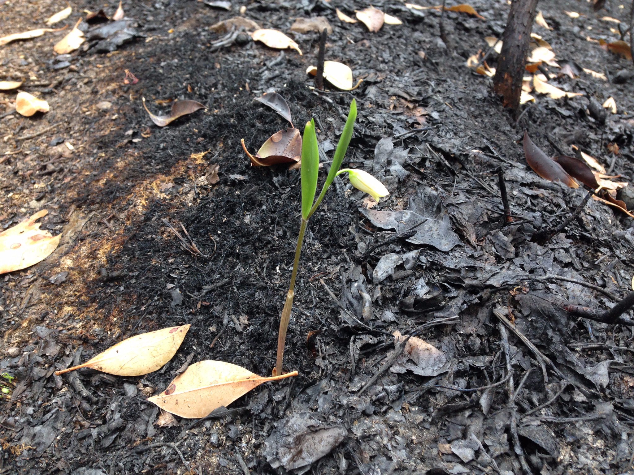
PHOTO COURTESY – NASA


We’d like to Thank the men and women behind the fire images knowing how much time and effort to put these great fire images out to all of us. Thank you for sharing your many talents and bringing to life what it is really looks like on the fire ground. – Ed.
Sources: Inciweb, Shenandoah NPS, NASA, VA Department of Forestry
