

Rocky Mountain Incident Management Team- Pete Blume, Incident Commander
Phoenix National Incident Management Organization- Curtis Heaton, Incident Commander
Joint Information Center: 719-569-4149 or 719-657-3279
Hours of operation: 8:00 am – 9:00 pm
West Zone Email: westforkfire@gmail.com
East Zone Email: WestForkFire.EastZone@gmail.com
June 30, 2013
8:00 pm
Special Message: The Red Cross Shelter in Del Norte will close Monday, July 1. The Salvation Army will provide a continental breakfast from 8 am to 9 am tomorrow for the last of the Red Cross clients. Visit www.redcross.org/Colorado or contact your local Red Cross office for further information regarding the services they provide.
Current Situation:
East Zone of the West Fork Complex (Includes Papoose and Eastern Part of West Fork Fires)

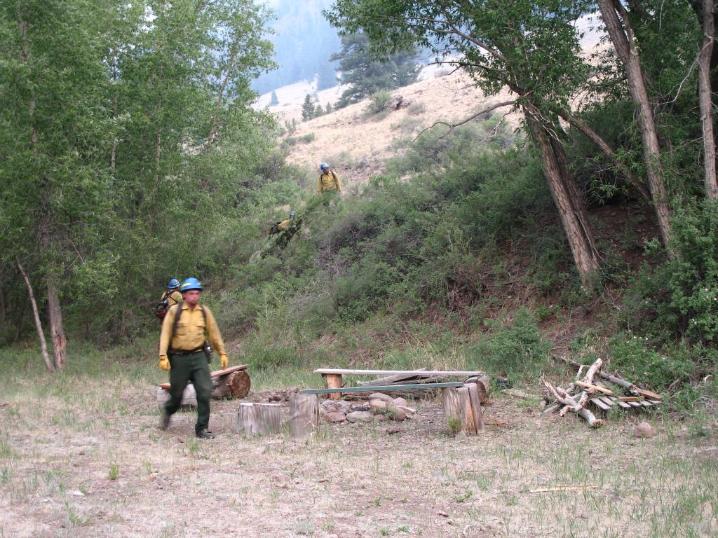
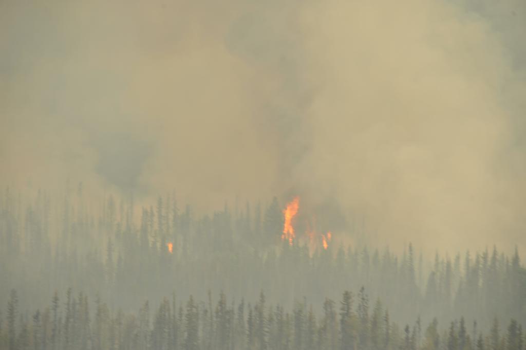
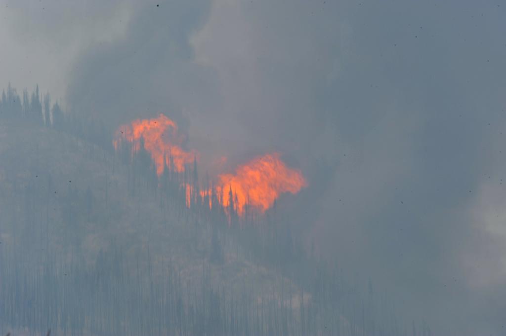
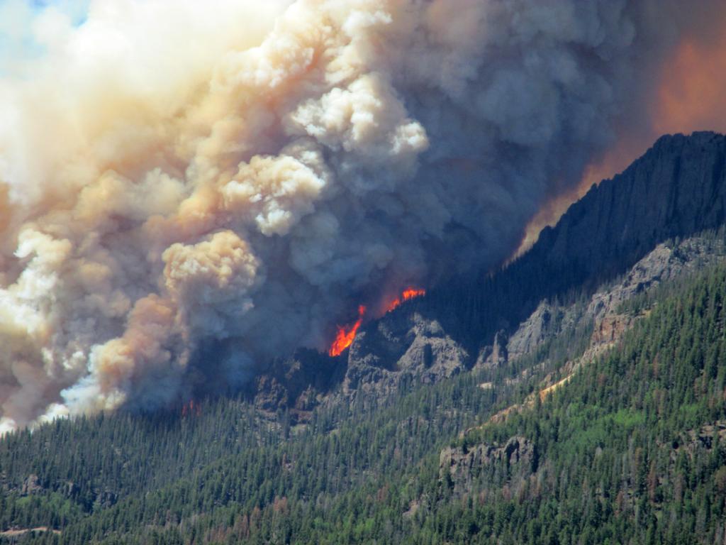
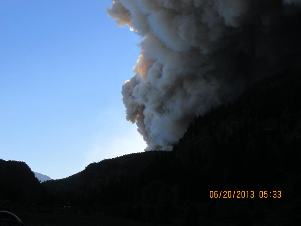
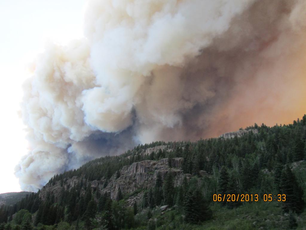
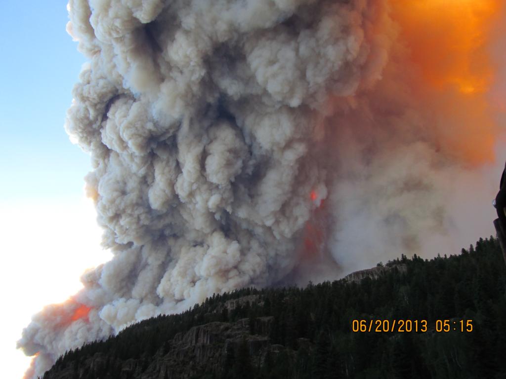
Papoose Fire: One of today’s priorities included taking advantage of yesterday’s moisture to secure the fireline in the northwest area of the fire, near Crooked Creek and down to Rio Grande Reservoir. Firefighters used a combination of dozer lines, hand lines, and water or retardant drops to construct and secure line around structures.

On the southeast flank, the fire increased in activity late this afternoon in the Trout Creek drainage, Spotting occurred, causing firefighters to focus on structure protection at Spur City and Red Mountain Ranch. Along Highway 149, firefighters were able to begin mopping up adjacent to structures. At the time of this release, there have been no known structures lost.
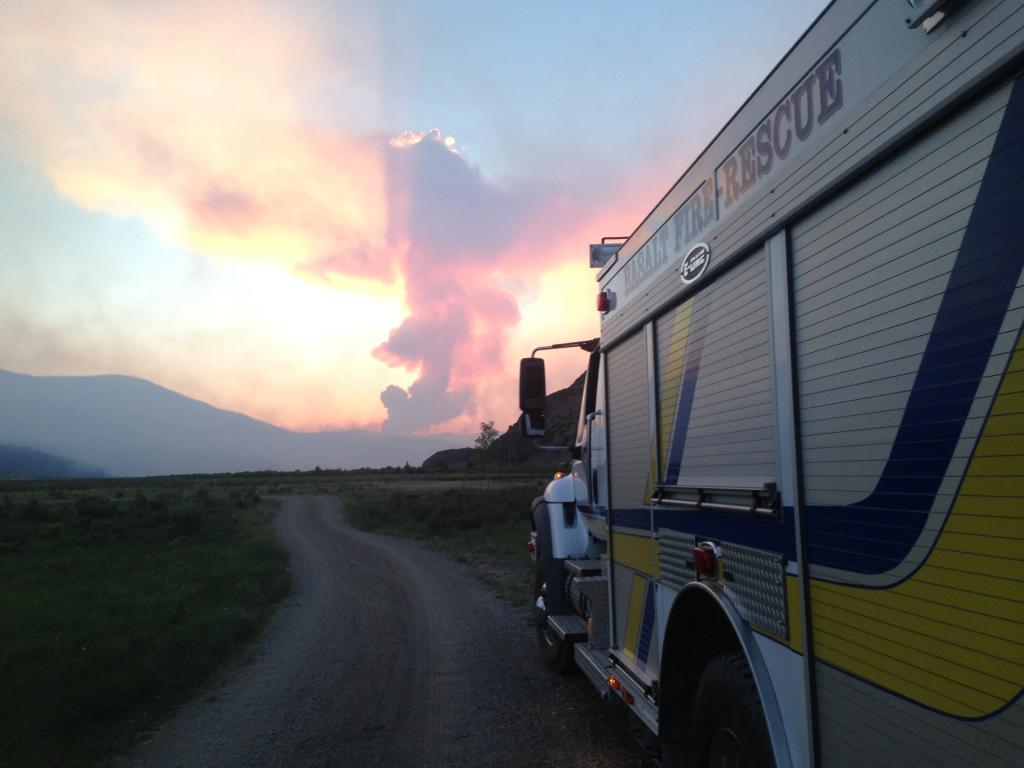
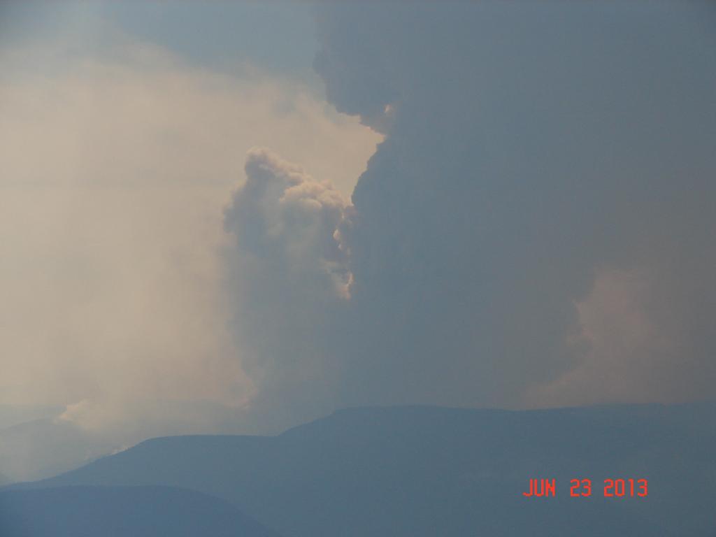
Eastern Part of West Fork Fire: Increased fire activity, caused by thunderstorms and gusty winds, was experienced near Lake Humphreys and Elk Mountain areas, on the north flank of the fire. However, firefighters were able to get closer to the fire’s edge and begin direct attack on that piece of fire line with the aid of retardant drops. Along Highway 160, firefighters continued to clean up the fire’s edge. Protection has been established around structures east of Highway 149. At the time of this release, there have been no known structures lost.
West Zone of West Fork Complex (Includes Western Part of West Fork and Windy Pass Fires)
Sustained cooler temperatures and higher humidity gave firefighters additional support today on the West Zone of the West Fork Complex. Moderated winds today gave the Air Attack that had been grounded the past two days due to smoke an opportunity to monitor fire activity. The West Zone supported suppression of 13 new fires, all caught quickly and kept small.
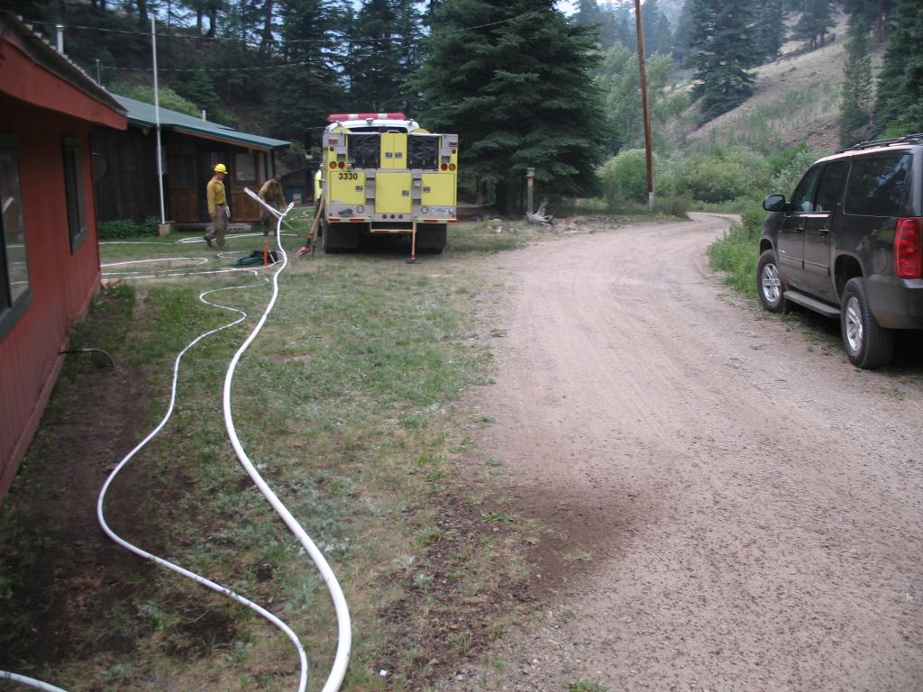
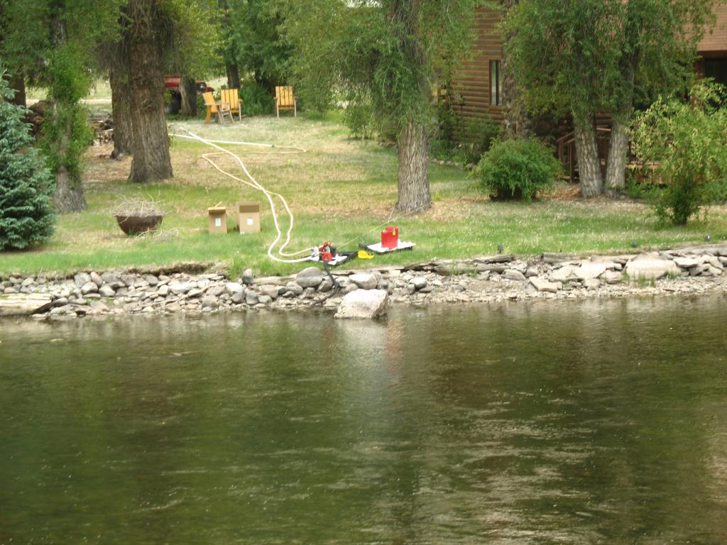
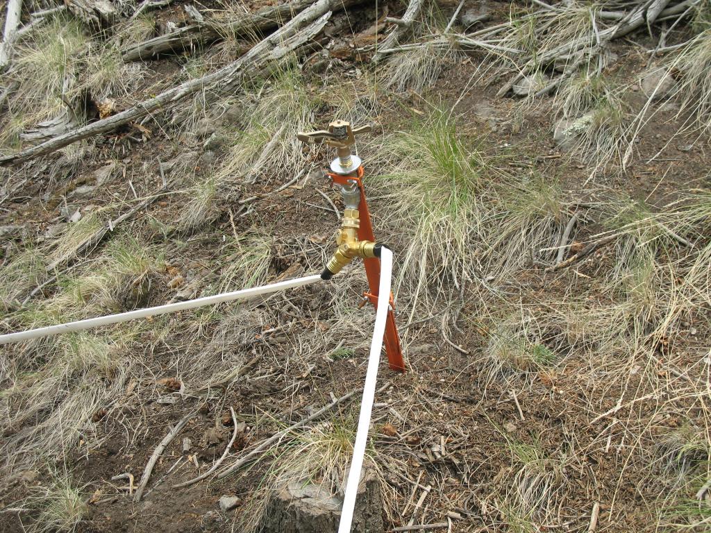
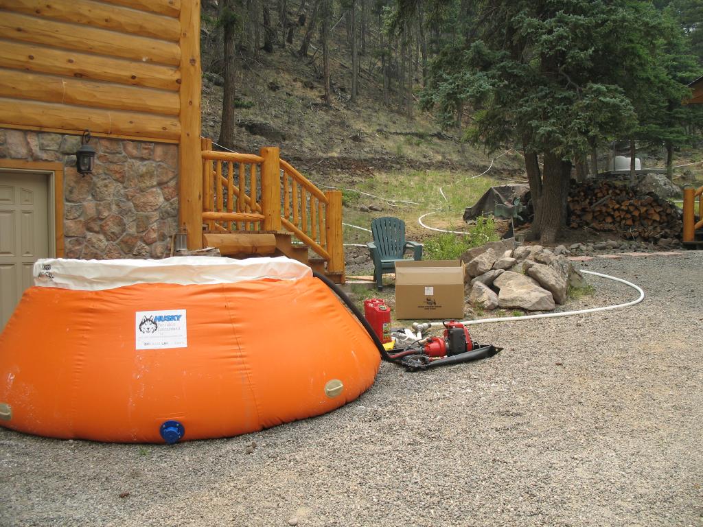
Western Part of West Fork Fire: The West Zone of the West Fork fire is the portion of the fire burning south of the continental divide. Structure protection is still in place for Wolf Creek Ski Area, Borns Lake Cabins, and Bruce Spruce Resort, which is still open, and hose lays and sprinkler systems are in place and operational in the West Fork Campground that is also open. Crews started to backhaul the excess firefighting equipment at Borns Lake, Bruce Spruce and Wolf Creek.
Windy Pass Fire: Activity on the Windy Pass Fire today was minimal. A resource advisor was on the fireline today to assess the landscape and to begin developing a rehabilitation plan.
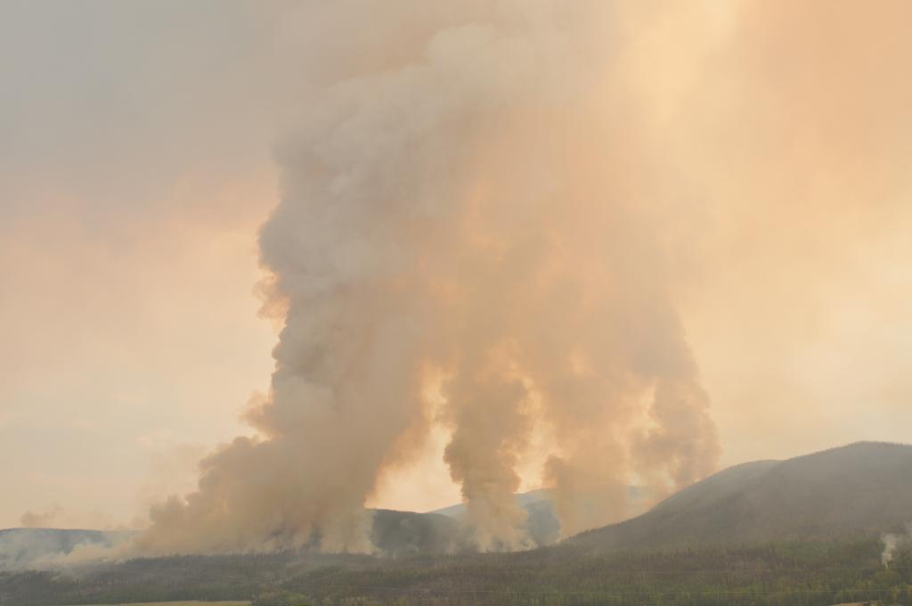
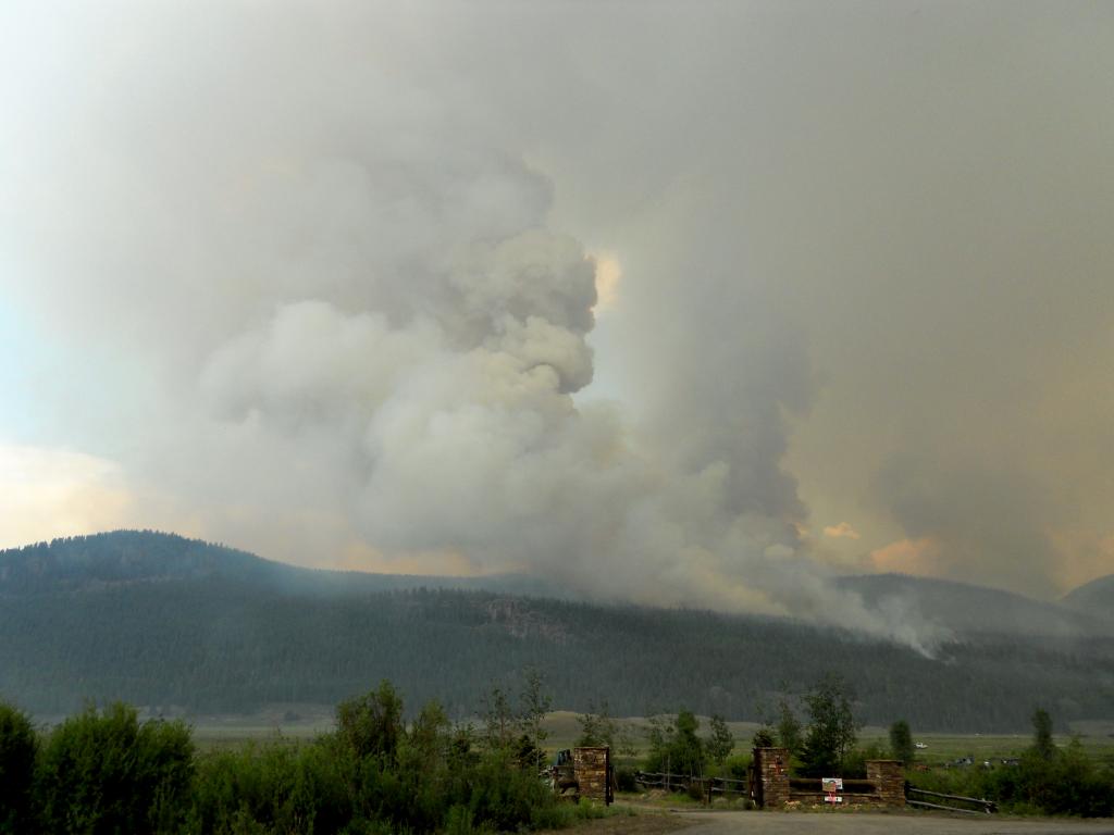
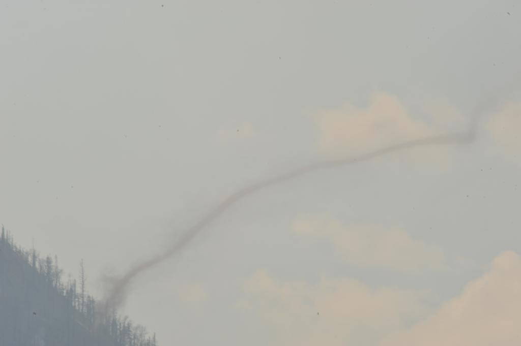
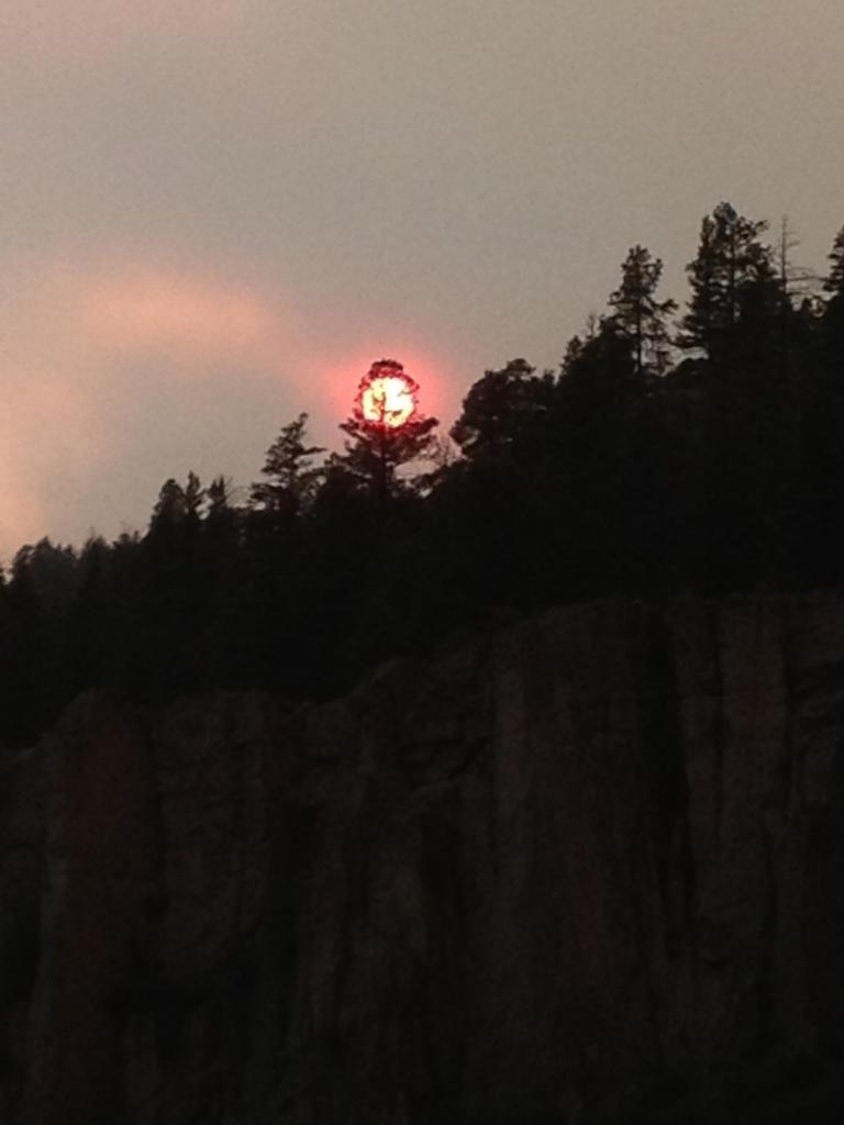
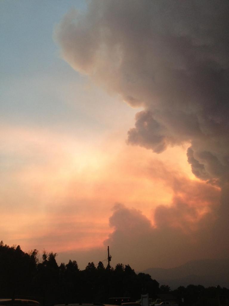
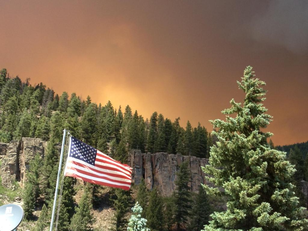
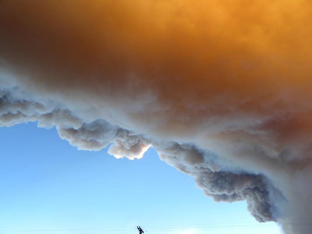
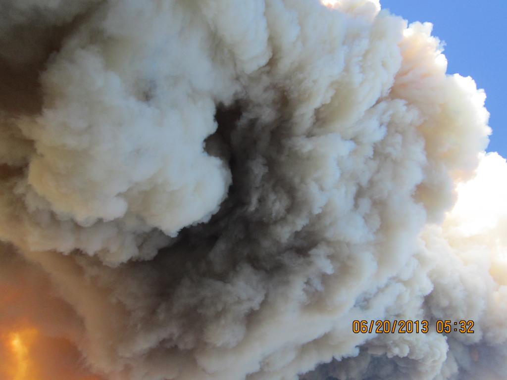
Weather: Scattered thunderstorms developed this afternoon across the complex. Gusty winds and some moisture fell across the fire area. A potential for ash flow and mudslides still exists. Thunderstorms are predicted for tomorrow. Tuesday and Wednesday will be warmer and drier, with a chance of isolated thunderstorms.
Public Health and Safety: Smoke monitors are in place in Pagosa Springs, Freemon’s Ranch, and Creede. The monitors are identified as #78 (Creede), #69 (Freemon’s Ranch) and #65 (Pagosa Springs) and can be accessed through the map located at: http://www.wrcc.dri.edu/cgi-bin/smoke.pl.
Times displayed are in GMT – subtract 6 hours to get local time (MDT). For the official Colorado Smoke Outlook, please visit http://www.colorado.gov/airquality/colo_advisory.aspx and http://www.colorado.gov/airquality/wildfire.aspx for further health advisory information.
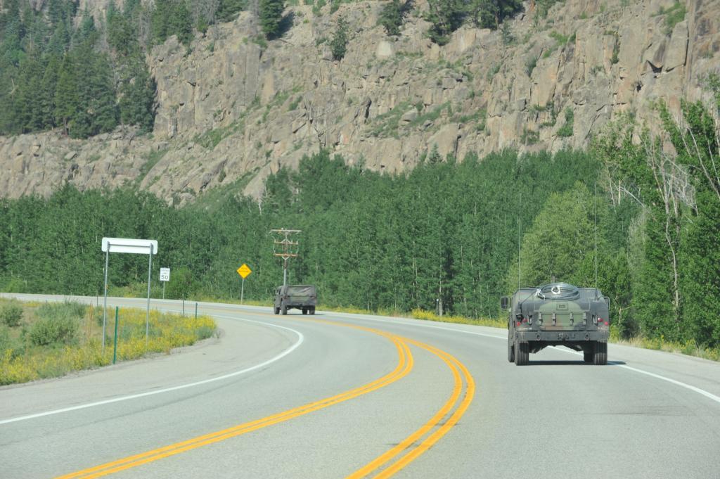
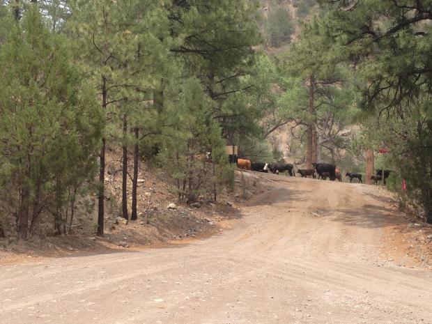
Please use caution when traveling along Highways 149 and 160. Heavy fire traffic can be expected along the highways and within the communities of South Fork, Creede, and Del Norte. Please do not stop along the roads to take pictures of the fire or firefighters as doing so could impede fire operations.
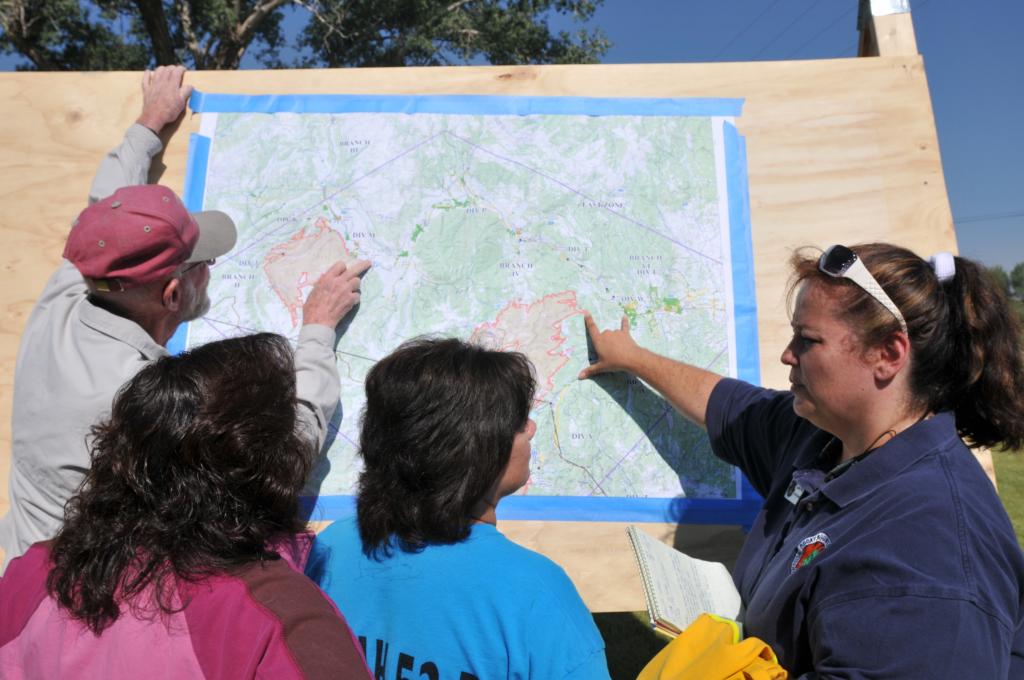
Evacuations and Closures: Residents are reminded to remain vigilant and be prepared to evacuate at a moment’s notice in the event that fire activity changes. Visit http://westforkfirecomplex.blogspot.com/ for a list of areas currently under evacuation or pre-evacuation. The list will be updated as conditions change.
For additional information on road and trail closures affecting the San Juan National Forest go to: http://www.fs.usda.gov/alerts/sanjuan/alerts-notices.
Emergency closures in place due to the West Fork Fire Complex currently affect about 50 miles of the Colorado Trail on the Rio Grande National Forest and about 150 miles of the Continental Divide National Scenic Trail on both the Rio Grande and San Juan national forests. These trail sections are closed to all public entry between San Luis Pass north of Creede, Stony Pass east of Silverton and Elwood Pass northeast of Pagosa Springs, as identified within the closure orders. For more information, contact the Rio Grande National Forest at 719-852-5941. For additional information on road and trail closures affecting the Rio Grande National Forest go to: West Fork Fire Closures.
Fire Information Meetings: None scheduled at this time.

Media Briefings: There are no scheduled media briefings. If media are interested in a briefing or interview, please contact the East Zone Information Office.
Fire Statistics:
Location: 14.5 miles north/northeast of Pagosa Springs, CO
Start Date: 06/05/2013
Percent Contained: 4%

Cause: Lightning
Complex Size: 92, 176 acres
Windy Pass: 1,416 acres
Papoose: 34,272 acres
West Fork: 56,488 acres

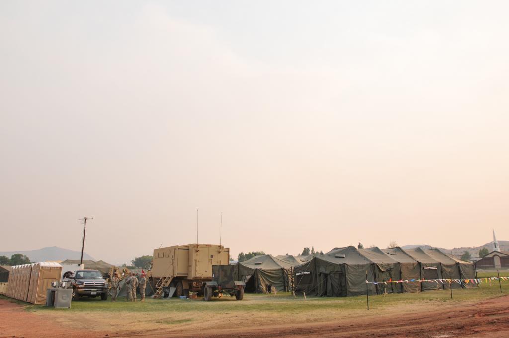
Total Personnel: 1508
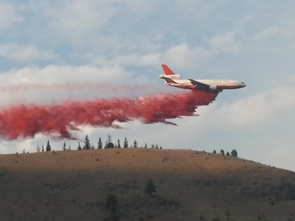
Resources Include: 9 Type 1 hand crews, 21 Type 2 hand crews, 84 engines, 4 dozers, 12 water tenders, and overhead personnel
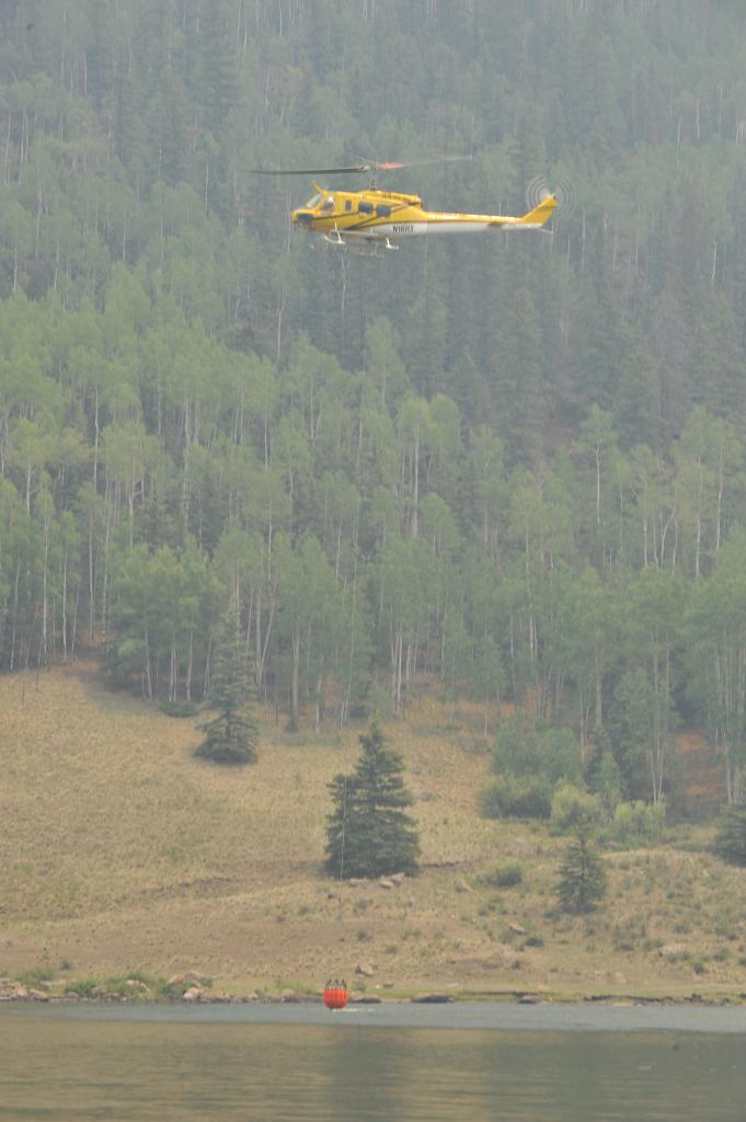
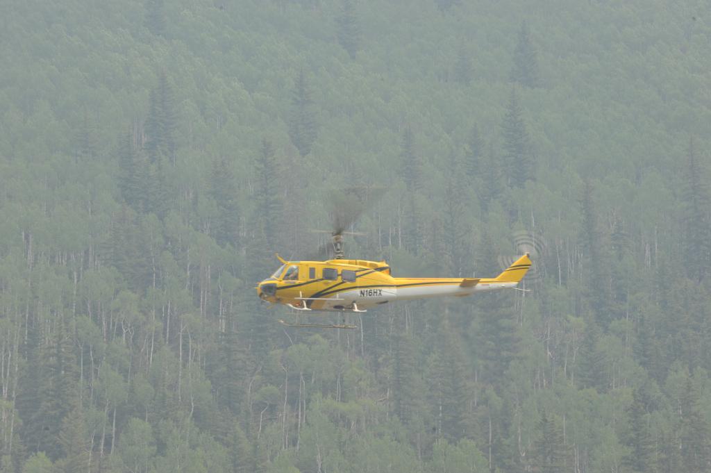
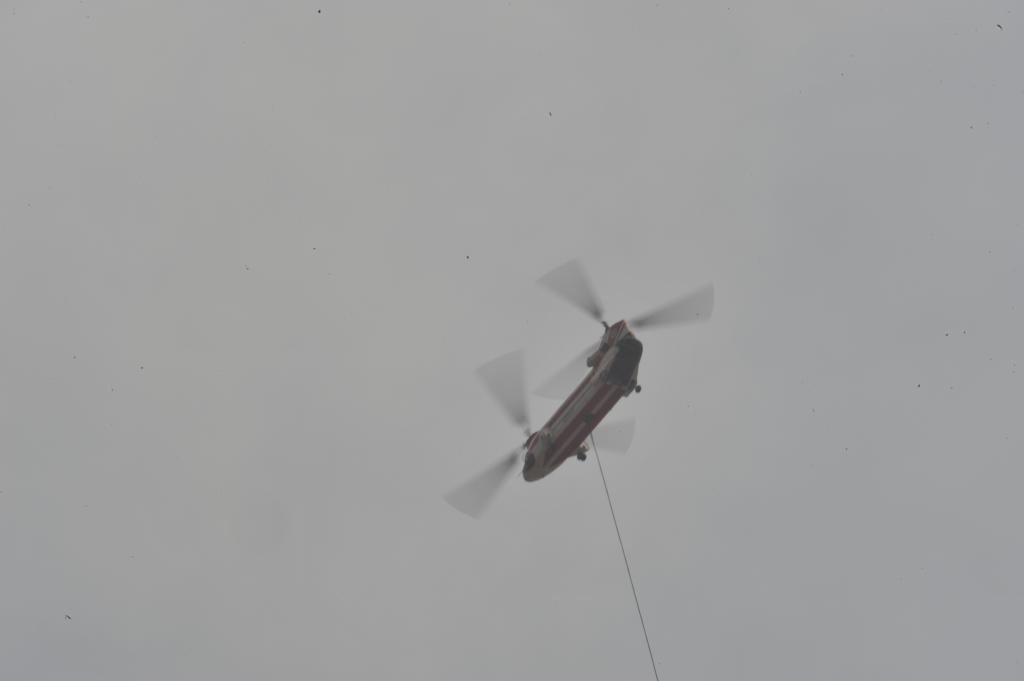
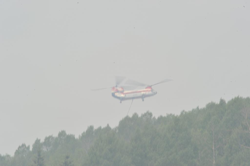
Air Resources: 6 Type 1 helicopters, 4 Type 2 helicopters, 10 Type 3 helicopters, and 2 single engine airtankers (SEATS)
Places to get information:
Blog: http://westforkfirecomplex.blogspot.com/
Website: http://inciweb.nwcg.gov/incident/3436/
Twitter: @rmt1pio
Facebook: https://www.facebook.com/RockyMtn.Type1.IMT.PIOs.
Information Boards: Information is posted at the Pagosa Springs Visitor Information Center, Freemons Ranch near Creede, the Forest Service office in Creede, and at the Del Norte High School.
Photos: http://s1286.photobucket.com/user/WestForkComplex/library/
Source: WestForkComplex blog
Reblogged: 6/30/13 2155 PDT
2013 The NW Fire Blog
Photography is Courtesy of Inciweb/West Fork Complex Fire Blog
