
FIRE LOCATION
- Forebay Rd
- Pollock Pines, CA
- Place County &
- El Dorado County
INCIDENT SUMMARY
- Start Date 9/13/14
- 1837 Hours
- Heavy timber, Steep Terrain

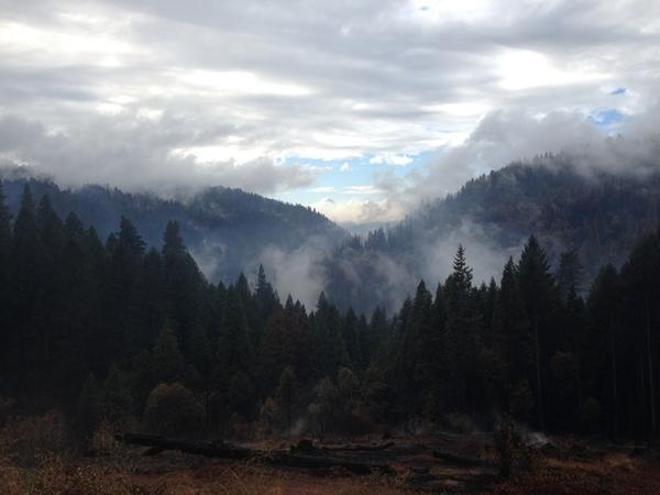
FIRE STATUS
- 97,099 acres
- 74% contained
- Unified Command with CALFire, Eldorado NF & El Dorado Co Sheriff’s Office
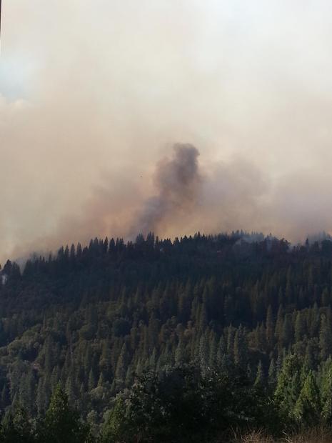
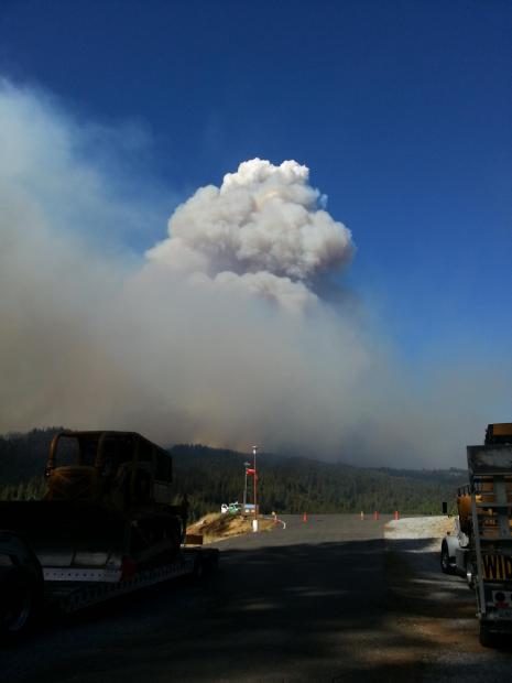
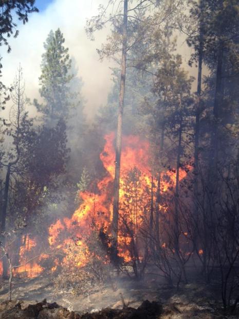
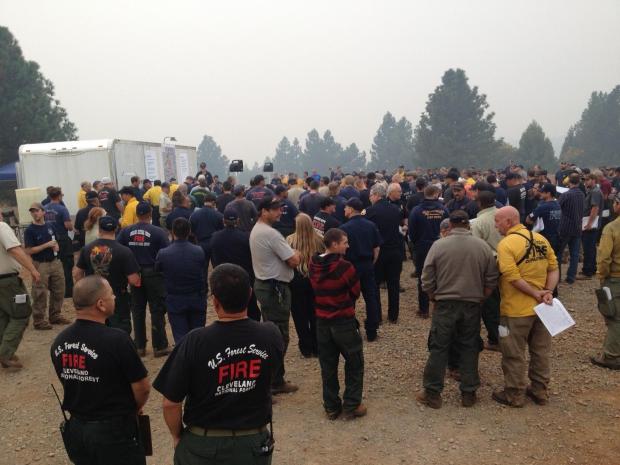
Fire Suppression Efforts
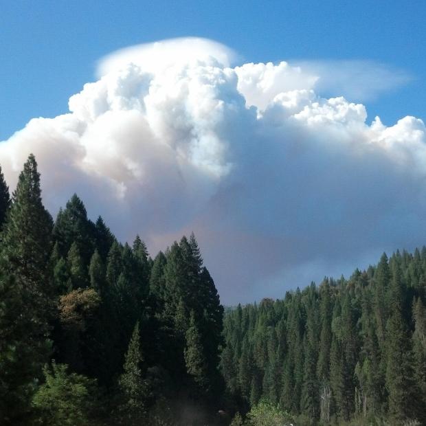
![NASA Image of the King Fire [Photo Credit: NASA]](https://thenwfireblog.com/wp-content/uploads/2014/09/0101.jpeg)
- Threat has been reduced
- Excessive resources were released
- Suppression repair plan approved by the El Dorado NF
- Implemented today

Zone 2
- S & SW areas have been combined
- Control lines are in mop up area
- Patrol continues
- Direct & Indirect lines have been strengthened
- Concers with the Rubicon drainage
- Spot fires in the E & SW have been caught, put out
- Exisitng control lines were strengthened
- Still working on containment lines in both zones
RESOURCES
Fire – Assigned
- 7214 personnel
- 418 engines
- 172 fire crews
- 21 helos
- 95 dozers
- 80 water tenders
- 5 IMT
Shelter Resources

Red Cross will be staffing 2 Locations for Residents whom may need additional services
- Placerville: Church of Our Savior. 2979 Coloma St. Hours 1000-1800 on Saturday
- Georgetown. Fire Station #61. 6281 Main St. Hours 1200-1700 on Saturday.
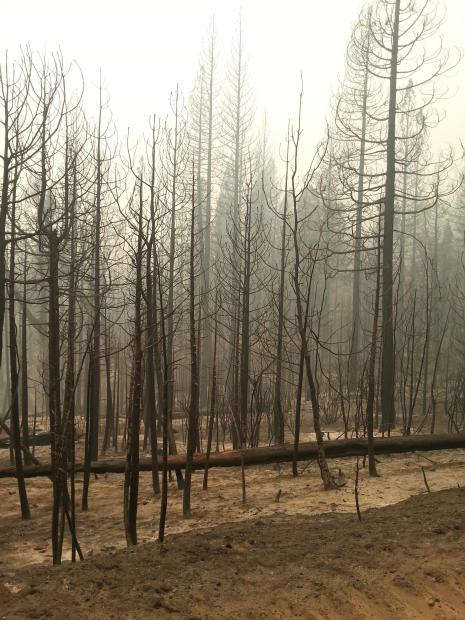
DAMAGE ASSESSMENT
- 80 structures – 12 residences, 68 others – destroyed
- 6 injuries
- 289 structures threatened
- Cause determined to be Arson
WEATHER CONDITIONS, PREDICTIONS
Friday, 9/26/14 AM
- Mostly cloudy to cloudy conditions
- Upper level low pressure approached the west coast near San Francisco
- Light showers in the area this afternoon and evening
- High temps ranged from 53-65 degrees
- Expected 6-12 mph winds from the SW to W in the lower slopes and valleys
- Wind gusts up to 15 mph expected from the S ridgetop
- Minimum relative humidity ranged from 50-55%.
Friday Night
- Continuing tonight will be isolated to scattered rain showers
- Isolated Thunderstorms with high amounts of more severe storms
- Rain to drop over the E’strn & N’thrn parts of the Fire
- Expecting less than .50 inches of percipitation
- Temps will drop to around 38-48 degrees
- Relative humidity will be between 70-100%
- Snowfall may dust the mountain at 7500-8000 ft elevation
CLOSURES

- Mosquito Ridge Rd from its intersecion with Gorman Ranch Rd
- Forest Service Rd 22 from near French Meadows
- The Western States Trail
- Tevis Cup Trail
Road Closure & Alerts – http://www.fs.usda.gov/tahoe
INCIDENT COOPERATORS
- CHP
- Red Cross
- Cal OES
- Caltrans
- El Dorado Irrigation Dist
- Sacramento Municipal Utility District
- Sierra Pacific Industries
- PG&E
- Placer Co Water Agency
- Placer Co Sheriffs Office
- California Conservation Corps
- El Dorado Co Animal Services
CONTACT INFORMATION

Fire PIO Contacts
- Zone 1 (north portion) Fire Information Line: (530) 587-9096
- Zone 1 (north portion) Media Information Line: (925) 588-6770
- Zone 2 (south portion) Fire Information Line: (530) 647-5218
- Zone 2 (south portion) Media information Line: (530) 708- 2724
El Dorado County
- Hotline (530) 642-7263
- Hours – 0800-1700
- Monday- Friday
- Voicemail for after hours calls
[All Content and Photographs are the Property of the inciweb.gov and we do not proclaim any rights to them. We have merely gleaned the info, reposting and adding photos.]
2014 The NW Fire Blog

Thank you for the current update about the King Fire in California. I am going to print it and send it to my 89 year old uncle who was in CDF (California Forestry Department) from age 19 until retirement. This was his area. He still has friends living in the area and can tell great stories about his fire-fighting days. Keep up the good work.
LikeLike
Thank you very much.
If your Uncle ever wants to share his stories, we’d love to publish them here.
You can contact us by email at nwfireblog@comcast.net.
Thanks again!
LikeLike