
Published July 22, 2022, Wednesday, 2235 hours PT
INCIDENT SUMMARY: An out-of-control firestorm named the OAK FIRE is burning off of Hwy 140 and Carstens Road near Midpines (Mariposa County), California. Burn scars in the area were the TELEGRAPH FIRE (2008), FERGUSON FIRE (2018), and the CARSTENS (2013).
The fire started this afternoon at 1400 hours PT from an unknown cause. It is currently under investigation.

UNIFIED COMMAND: CALFIRE MMU and the Sierra National Forest.
FIRE AVIATION RESOURCES: Air Attack 15, 505, Tankers 01, 82, 83, 103, 132, 137, 162, 914; Copters 0HT, 4AJ, 5AS, 5HT; OES Intel 24. (Fire Aviation Watchers)

INCIDENT COOPERATORS: The following listed below are those who are assisting as a partner to the fire itself or indirectly assisting.
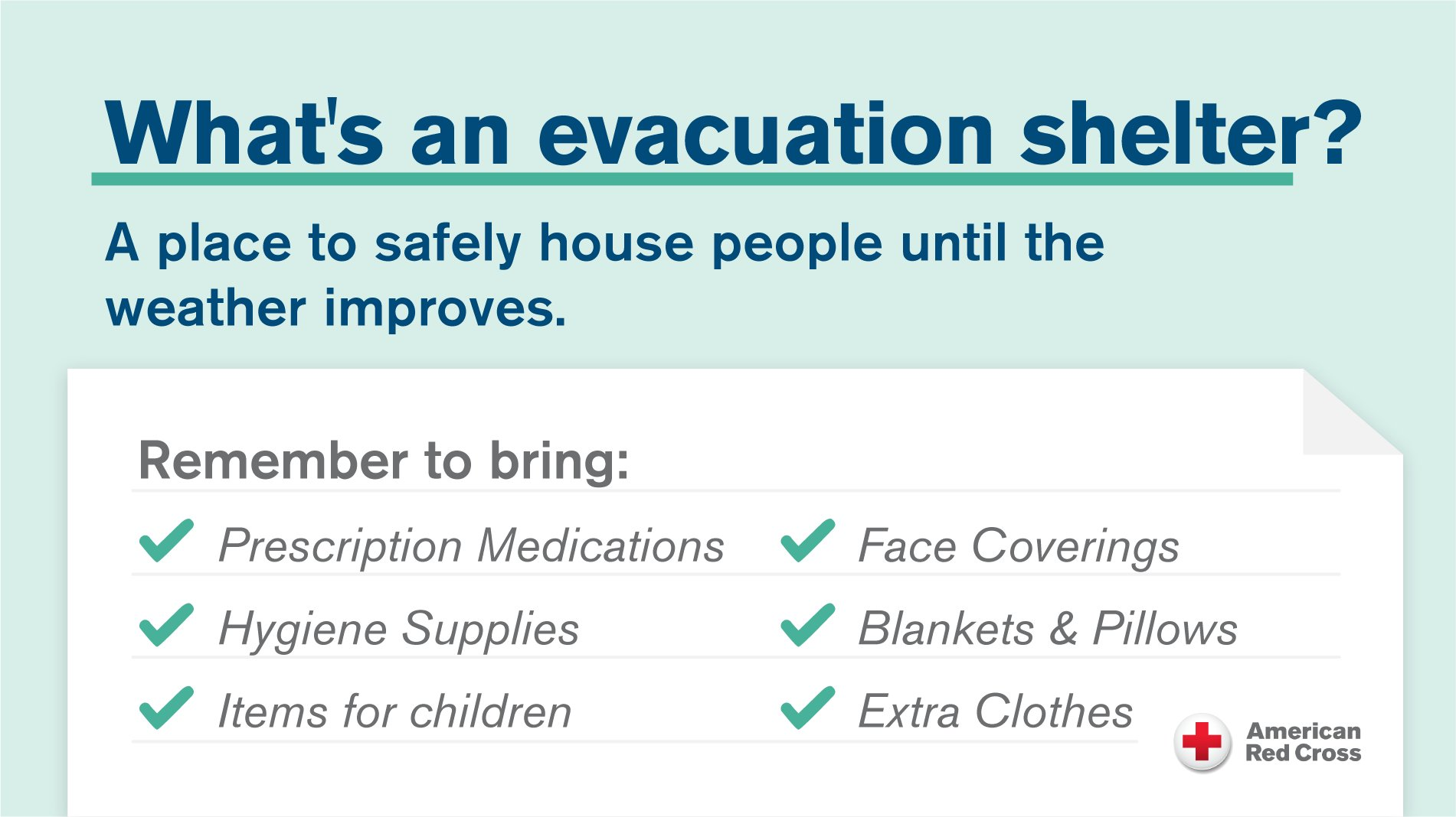
American Red Cross of the Central Valley – Disaster Services: SHELTER (people) at the New Life Christian Fellowship Church, 5089 Cole Road, Mariposa, California 95338.
Fresno Air Attack Base.
Mariposa Fairgrounds: SHELTER (large animals) located at 5007 Fairgrounds Road, Mariposa, CA (CEDR Digital Corps at 1821 PT)
Mariposa Elementary School Animal/People SHELTER (small animals) located at 5044 Jones Street, Mariposa, CA (CEDR Digital Corps at 1821 PT
Sierra Foothill Charter School SHELTER (people) is located at 4952 School House Road, Cathey’s Valley, CA 95306.
SPCA of Mariposa County SHELTER (small animals) located at 5599 CA-49, Mariposa, CA 95338. Emergency Hotline 209-966-5275. (Fire reporter)

Air Quality: https://map.purpleair.com/1/mAQI/a0/p604800/cC5#12.41/37.56206/-119.94436 (EPA)
INCIDENT BREAKDOWN: Information posted in this section is from Social Media postings from the media, fire agencies, the public, and other sources. It is broken down by the time it was reported/posted.
1442: Per AA440: Fire has burned 10-15 acres moving upslope towards structures, making a hard run, potential for an extended incident. IC requesting (4) type 3 engine strike teams (20 engines), (4) dozer strike teams (8 dozers), and (8) hand crew strike teams (16 crews) (Fire Blogger via Scanner Feed)
1455: Fire has spread 60-75 acres with a dangerous rate of spread (ROS). Multiple short-range spot fires threatened about 10-15 structures out ahead of the fire. IC CAL FIRE MMU contacting the USFS. (Fire Blogger)
Going to be one huge firefighter as there are a lot of beetle-kill trees, oaks, and very thick brush. Hundreds of homes are scattered in about a 12-square-mile area. (Journalist)
1610: The Oak Fire has officially ordered the World. This fire is going extended attack. Multiple homes are threatened. The critical rate of spread continues. (Fire journalist)
1611: Confirmed w/ Mariposa County Sheriff’s Office: reports of people either not having vehicles or otherwise unable to leave the evacuation zone. Units en route to get them out. No official tally on the number of people. (News media)
1630: AA requested a 2nd VLAT & that order has been filled but it will be coming out of Idaho. (2) additional type 1 helicopters on order along w/ a HelCo out of McClellan if available. (Fire Blogger)
1642: Fire has burned 611 acres. (CAL FIRE MMU)
1647: New start reported in the 4000 block of Triangle Road on the south Flank. (Emergency Management)
1700: Fire has made a push S to Triangle Rd and is now headed E midslope up Buckingham. (Fire Blogger)
1704: Per FIRS mapping aircraft, the fire has burned 1,300 acres. (Fire Blogger)
1719: Smoke plume can be seen clearly from Fresno.
1736: A Pyrocumulus cloud can be seen at the Northwest Weather Service’s Reno office. The fire broke out west of Yosemite in Mariposa County. They are about 120 miles north of the fire. (NWS Reno)
1742: Fire is at 1,300 acres. (CAL FIRE MMU)
1750: Fire has slowed a bit in progress per air attack. No spots have been seen. Still progressing due East towards Jerseydale. (Fire Blogger)
1813: Spot fire reported to be 1/8 of an acre located in the 5600 block of Meadow Lane and said to be about one-to-two miles in front of the fire. (Fire reporter)
1821: Fire is moving really fast from Midpines to Jerseydale, Darrah, Triangle in about two hours (Fire Blogger)
1946: Fire now 1,600 acres. (CAL FIRE PIO)
2003: IC/Fire officials trying to hold Darrah Road. A spot fire has been reported west of Clouds Rest. (Fire reporter)
2037: About 2,290 PGE customers are without power this evening. PG&E has not been able to determine the cause and is unable to access its equipment at this time. No estimated time of being restored was released at this time but will be later. (Air Quality Monitoring Agency)
2042: The CAL FIRE IMT 5 has been activated. (CAL FIRE PIO)
2112: Per IC, AA states mapped the fire at 4,350 acres as of 2109 hours. (Fire reporter).
CLOSURES:
-SR140 is closed between Carstens Road and Allred Road in the Midpines area. (Caltrans District 10)
-Hwy 140 from Allred Road to Ponderosa Way
-Carstens Road
-Triangle Road from Hwy 140 to Darrah Buckingham
-Mt. Road
-Plumbar Creek Rd
-Jerseydale Road
-Silva Road from Cole Road
-Triangle Road
-Hwy 140 is closed to tourists attempting to enter Yosemite National Park. (CHP CAD)
2139: VCFD Type 3 strike team mobilizing. (Fire Photographer)
2219: About 3,132 PGE& customers are still without power, which is about 13.16% of their customers.
FIRE IMAGES

(c) 2022 NW Fire Blog
